A story on NPR last month got our aviation commentator's attention. Dan Patterson heard that the US Navy has returned to teaching celestial navigation – a method that uses an instrument called a sextant along with the sun and stars to chart a course. The Navy says it's concerned about over-reliance on GPS navigation, which is vulnerable to attack or failure.
Dan Patterson is an aviation historian and a pilot too. He's got some thoughts about aerial navigation.

In the early days of flight, the term for aerial way-finding was called avigation, but that never took hold and the word navigation come into popular use by pilots.
In those early days, there were no special maps for aviation. So charting a course could be pretty tricky.
Early pilots relied on automobile road maps and landmarks like railroad tracks and water towers to figure out where they were.
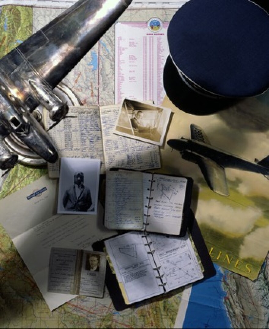
Then, in the late 1920s, a pilot named Elrey Jeppesen began keeping notebooks filled with information about airports and airfields - the beginnings of an entire system of aerial navigation still in use today. Jeppesen's drawings showed details like field elevation, the location of runways, surrounding hills and potential obstacles like trees and even telephone poles. They were marvels of detail. On the drawing for the Medicine Bow, Wyoming airfield, for example, there's a small square with X, which represents an equally important feature - the restroom.

You may recall there was an airfield in north Dayton between 1917 and 1927. It was located in a flood plain between the Great Miami River and the Sillwater River. Today's a Kettering Park on North Bend Boulevard. Back then, it was called McCook Field. The runway was not, shall we say, overly long. There was a warning to pilots painted on one of its hangars in very large letters: "This field is small. Use it all." And on the roofs of the airfield buildings were large arrows, navigational aides for pilots, pointing to Chicago, Toledo and Columbus.

Pilots everywhere were soon flying coat to coat to carry mail, cargo, and passengers. Helping those pilots find their way across the USA became a matter of community pride. All over the country, water towers were painted with the names of their towns.
Even today, as a pilot, there are times when you need visual reference from the air.
Here in Ohio, for example, lots of the landscape looks the same from above. The differences between say, Arcanum and Lewisburg, Ohio are pretty subtle from the air. If you are flying by visual flight rules, which means that you must be able to see the ground and are not in the clouds, and heading towards Dayton from the west, when you make your first radio call to the Dayton airport, you must tell them where you are.
Let me tell you, I am far from the only pilot to fly low enough to read a road sign or water tower, and this is where the so-called "concrete compass" can help too, the local roads.
If you're flying over Arcanum, follow Rt. 49 toward Interstate 70 and then follow that until you see the Dayton airport.
We all have the magic of GPS now on smart phones and in many cars, but when they don't work and you're up in the air, you must have your wits about you and be able to find your war, just like pilots did in the early days of aviation.
So it seems to me that the Navy has the right idea in teaching the centuries old method of knowing exactly where you are so you can then determine how to get where you are going.
Dan Patterson is an aviation historian and photographer. You can see more of his photos at his website, www.flyinghistory.com
Aviation programming on WYSO is supported in part by the National Aviation Heritage Alliance and The Air Force Museum Foundation.


